Upper Elevations May See Snow This Weekend in SW Montana
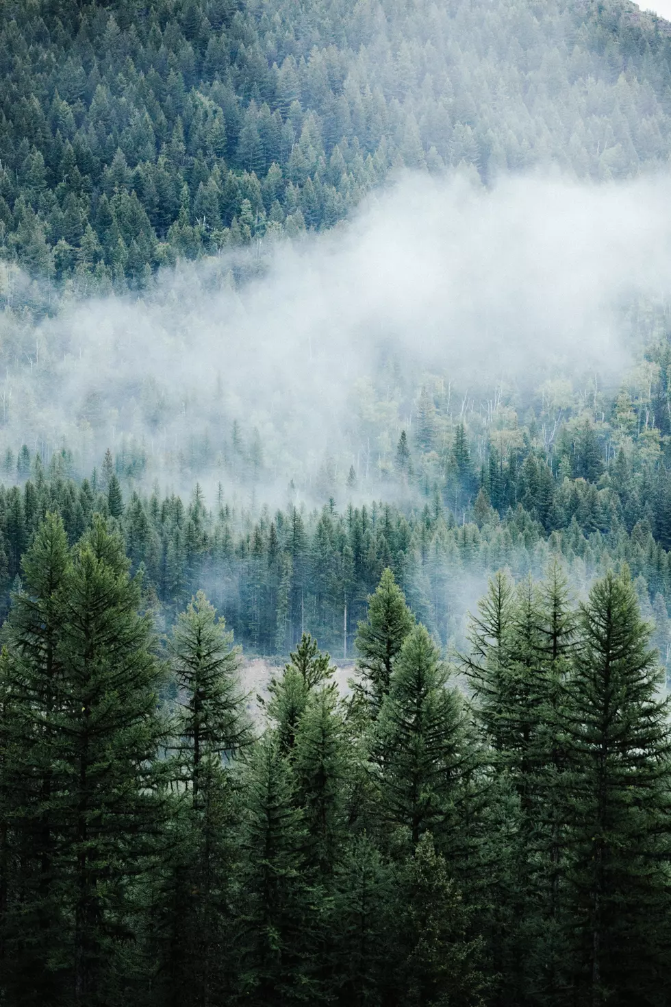
The National Weather Service (NWS) has stated there are severe thunderstorms possible Thursday with it turning much colder on Friday. There is potential for accumulating snowfall Friday night into Saturday for the foothills and the pass level. The NWS stated "the mountains of Southwest MT have the best chance at seeing snow accumulations greater than 4 inches."
The map below shows the probability of snowfall for western Montana.
Map courtesy of the National Weather Service
More From AM 1450 and 95.1 FM


![[POLL] Should Schools Stay Closed to The End of The School year?](http://townsquare.media/site/8/files/2020/04/RS15777_479986578-scr.jpg?w=980&q=75)

![[POLL] Will you vote for levies for 911 and search and Rescue?](http://townsquare.media/site/8/files/2018/08/GettyImages-1016766442.jpg?w=980&q=75)
![[POLL] In Which Month Do You Get The Least Sleep?](http://townsquare.media/site/8/files/2019/11/RS34979_GettyImages-910925040-scr.jpg?w=980&q=75)

