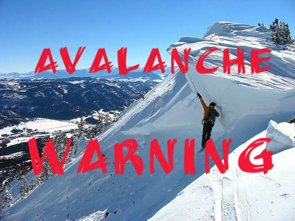
New Montana Avalanche Warning, More Snow And Volatile Conditions
Lots of fresh snow with more to come today, combined with an unstable snowpack AND heavy winds is yet again creating very dangerous conditions in the backcountry of southwest Montana. Details are here of a new Avalanche Warning.
The Gallatin National Forest Avalanche Center is issuing a Backcountry Avalanche Warning for the mountains around Cooke City, where 10” of snow fell in the last 24 hours, and an additional 7-10” is forecast for today.
Strong southwest winds are blowing snow and exacerbating the instability. The snowpack is unstable, and triggering avalanches is very likely. Avoid avalanche terrain and avalanche runout zones.
Very dangerous avalanche conditions exist. The avalanche danger is HIGH on all slopes. Contact the Gallatin National Forest Avalanche Center for more detailed information. This warning will expire or be updated by 6:00 a.m. on Tuesday, February 27th.

From Sunday, February 25th, 2024: "The wind hammered at Buck Ridge and much of the advisory area. Today (2/25), we found some slopes stripped nearly to dirt and others loaded by heavy drifts of wind-loaded snow. New snow and wind will increase the danger starting tomorrow."
The Gallatin National Forest Avalanche Center holds many educational classes and events to help keep us safe in the backcountry. This group of avalanche experts are out in the field everyday testing the snowpack and checking conditions.
Also, eLearning is a great way to refresh your skills each fall and learn new skills throughout the season. Avalanche eLearning continues to expand with more great programs out each season.
32 Interesting Photos of Montana's Fantastic Dive Bars
Gallery Credit: mwolfe
The Highest Highway Passes in Montana
Gallery Credit: Michael Foth
These 8 Montana Restaurants Make Excellent Fish Tacos
Gallery Credit: mwolfe
