Wildfire smoke from Canada, and the smoke from fires within Montana dropped the Air Quality Index (AQI) in parts of Montana by dozens of points on Wednesday. Thursday isn't looking too promising either with Air Quality Alerts and Heat Advisories in effect for large portions of the state.
Check out these temperatures across about half of the state of Montana. 65 degrees in Red Lodge. 76 in Livingston. 77 in Billings and Baker. And these are just the forecasted highs for Monday.
The cycle of warmer temperatures and afternoon showers and thunderstorms are prompting many Flood Watches across central Montana. Creeks, streams, and rivers are all at risk of flooding on Wednesday - travelers and recreationists are urged to use caution.
There was so much flooding in Billings, Montana over the weekend that people were fishing on Shiloh Road. The National Weather Service (NWS) says Billings is already up to at least 4 inches of rain for the month of June, even though we are only 4 days in.
With more heavy rains expected from Bozeman to Forsyth, city drainages along with rural creeks and streams are in danger of flooding through at least Friday night. Keep a keen eye on storm drains within city limits, as flooding/deep pooling can happen quickly.
We're all smoked out up here in the Flathead. What's going on? Same deal for Kelly in Glasgow. Then I looked out our studio windows in Billings- yep, looks like the whole state is smoked out.
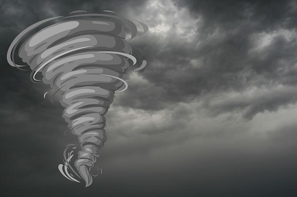
Montana weather can be unpredictable, it's not too often that we have tornados here. So when it does happen, it's a huge deal and we should all be prepared.
"Aggressive river rise" due to several inches of rain is in store for counties in eastern Montana, with possible flooding through Friday night. Creeks, streams, and rivers are all at risk and residents should keep a close eye on powerful weather cells.