When you type the question "Any Updates on the Past" instead of "Any Updates on the Pass", you'll be getting the best responses the Gallatin Valley has to offer.
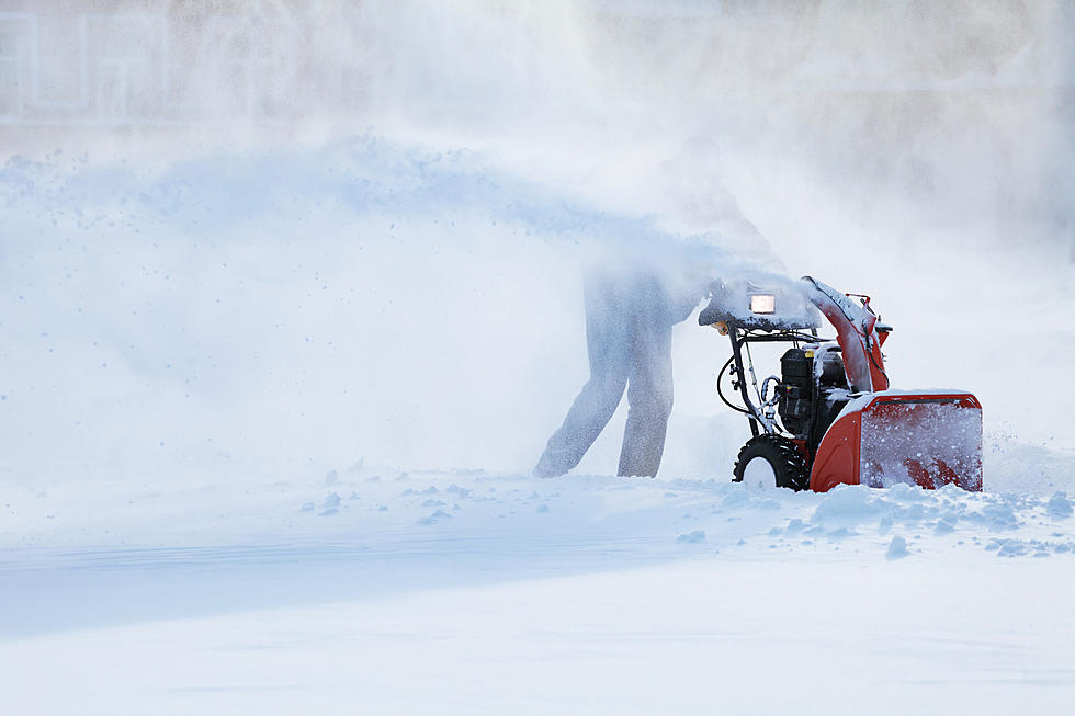
Hello, February! Almost the entire state of Montana will have weather issues Tuesday evening and Wednesday with another round of snow and very cold temperatures heading our way.
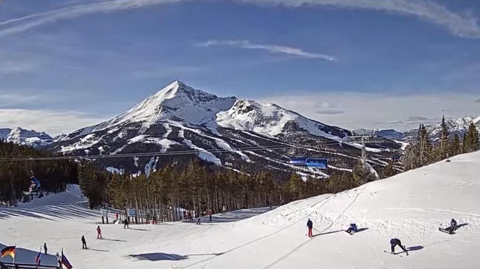
From mountain ranges to rivers to bird nests to snowmobilers, Montana webcams probably offer the PRETTIEST couch surfing visuals. Here are some of our favorite webcams from across the entire state of Montana:
Much of Montana will experience gusty winds and up to 4 inches of fresh snow by Wednesday afternoon. It's not a ton of snow, but travel and visibility could get difficult during this advisory.
We've become used to the fire season Air Quality Alerts during the summer across Montana. The terrible wildfires of the last few seasons have made them a common occurrence. However, parts of Montana are susceptible to Air Stagnation Alerts during the WINTER, stemming mostly from wood-burning stove usage.
We've been battling high winds for WEEKS and they're going to continue this week, until at least noon on Thursday. 60 MPH winds are expected on the I-90 corridor between Livingston and Big Timber.
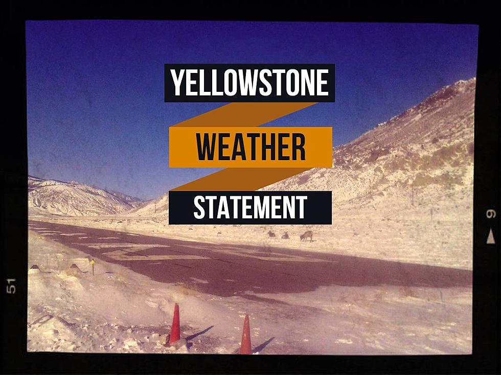
Yellowstone National Park will continue to get hammered with snow and gusty winds until Saturday morning with a Winter Weather Advisory. Up to 12" of fresh snow could fall and visibility may be near zero during this time.
As we gear up for the first business week of the New Year, I imagine the water cooler conversation Monday morning will be about how cold it got during the holidays (and how much warmer 15 above feels after you felt 15 below).