SNOW ALERT: Up to 10″ Possible for SW Montana Mountains by Tuesday
Fall. Winter. Fall. Winter. 'Tis the dance Montana generally does through the month of October. High elevations in southwest Montana could see up to 10 inches of fresh snow by Tuesday morning...so I guess that means we're back to winter!
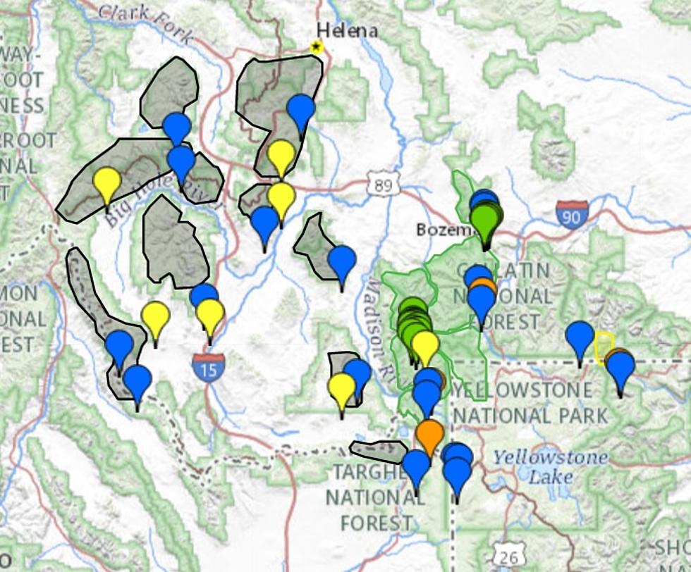
To be clear, this Special Weather Statement is just for the highest elevations in a few counties so far. High up (above 7,000 feet) in the Tobacco Roots, Gravelly Mountains, and the Madison Range and the places that are expected to get the most snow.
The Bozeman area is expected to get significant rain on Monday, into Monday evening. By early Tuesday morning snow is possible but is not expected to accumulate much. Perhaps an in or two is possible by Tuesday morning.
According to the National Weather Service:
SPECIAL WEATHER STATEMENT: Mountain will be getting snow in Southwest MT through Tuesday morning.
WHAT IS TO BE EXPECTED, AND WHERE: Periods of snow will fall in the Madison, Gravelly and Tobacco Root Mountains from today through Tuesday. Snow could be heavy at times and high elevation recreation is not recommended.
SNOW AMOUNTS FROM THIS EVENT: Snow accumulations of 5 to 10 inches are expected above 7000 feet, with isolated higher amounts towards ridge tops.
LOWER ELEVATIONS TO GET MUCH LESS SNOW: Snow accumulations below 7000 feet will be much less, with up to an inch of snowfall possible around the city of West Yellowstone, as well as Monida, Raynolds and Bozeman Pass.
Those who plan to recreate at the higher elevations in these mountains Monday through Tuesday morning should be prepared for cold and snowy conditions. Recreating in these areas during this time period is not recommended.
Amazing Airbnb in Montana Makes Thrillist List for Gorgeous Views
More From KMMS-KPRK 1450 AM


![[POLL] Are You Happy With Your Counties Reaction to CoVid-19?](http://townsquare.media/site/8/files/2020/03/GettyImages-1212202013.jpg?w=980&q=75)

