Proposed Diversion Channel Could Save Three Forks
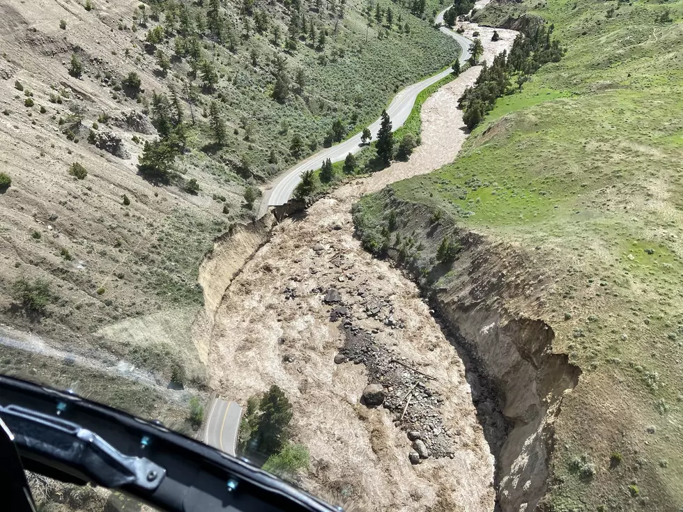
The City of Three Forks is proposing a project that will reduce the city's risk of flooding from the Jefferson River. This new project was proposed following an ongoing update to Gallatin County’s floodplain maps. These new maps indicate a 100-year flood would impact Three Forks more significantly than once thought.
New floodplain mapping could result in a halt in building, renovations, and repair in some areas of Three Forks. With many sections of the city having a significant flood risk that means more residents and businesses will encounter development restrictions and a majority will also be required to obtain flood insurance.
A project has been proposed to decrease the flood risk and divert water away from the city. The goal is to have a conveyance ditch or channel built southwest of town. This would create a path and direct overflow water from the Jefferson River west of town under U.S. Highway 2 and back to the Jefferson River downstream.
The channel would reduce the amount of city land that would be mapped into the floodplain. It would also keep approximately 300 structures in a town of 2,000 people out of the 100-year flood zone.
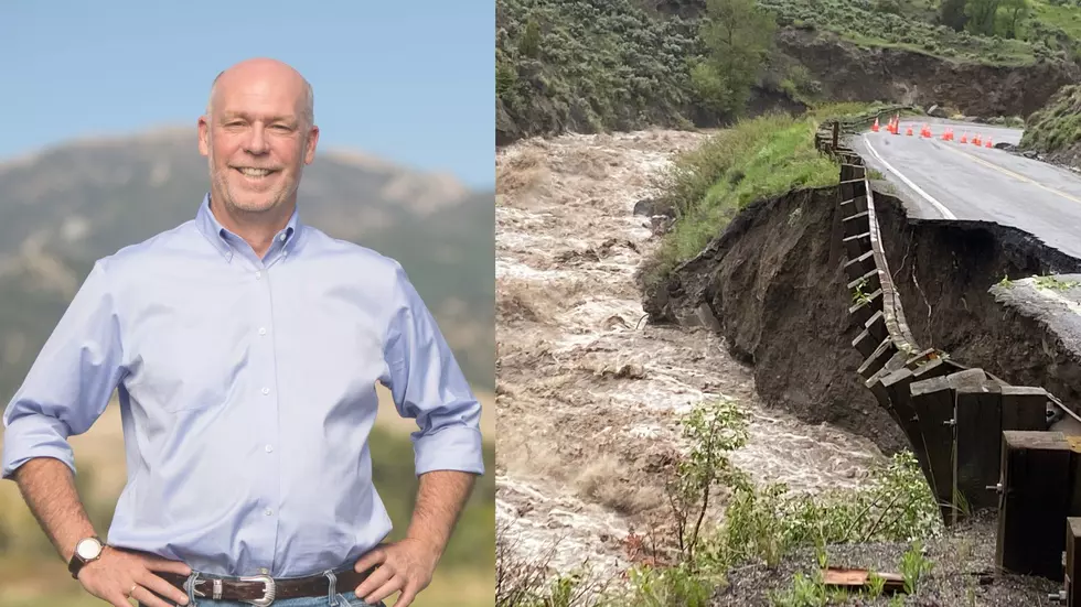
The City of Three Forks is applying for a Federal Emergency Management Administration (FEMA) Grant to help fund 75% of the project. As part of the application, they need members of the community to express their support for the project. If you are a resident of Three Forks, please click on the button below to show that you back the proposed project before the deadline on December 15th.

Three Forks Rodeo & Parade
More From AM 1450 and 95.1 FM