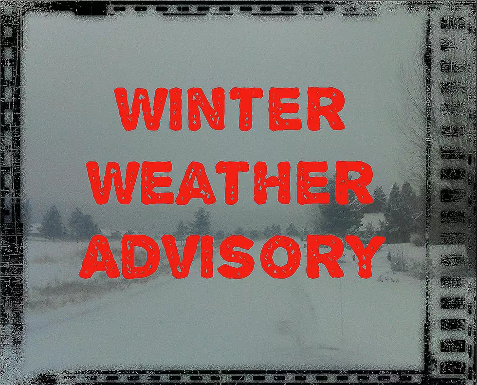
8+ Inches of Snow and 40mph Winds for Southern Gallatin and Madison Counties Through Monday
Higher elevations SOUTH of Bozeman are in for another weekend of snow and very gusty winds.
According to the National Weather Service:
WINTER WEATHER ADVISORY IN EFFECT FROM 11 PM THIS EVENING TO 11 AM MST MONDAY.
- WHAT...Snow expected. Total snow accumulations of 4 to 8 inches at West Yellowstone and Raynolds Pass, with 8 to 12 inches at Targhee Pass, are expected.
- Winds gusting as high as 45 mph on Monday.
- WHERE...Southern Madison and Gallatin Counties, including West Yellowstone. This also includes Raynolds and Targhee Passes.
- WHEN...Until 11 AM MST Monday.
- Travel could be difficult. Strong and gusty winds on Monday will lead to areas blowing snow, which could significantly reduce visibility.
- A 6 to 12 hour lull in the snow is possible late Sunday afternoon and evening.
- NOTE...This advisory does not include the city of Bozeman.
- A Winter Weather Advisory for snow means periods of snow will cause primarily travel difficulties. Expect snow covered roads
More From AM 1450 and 95.1 FM