With Less Snowpack Upcoming Fire Season Depends On Spring Rains [YouTube]
The National Weather Service says Montana snow pack has dropped below normal for two straight months.
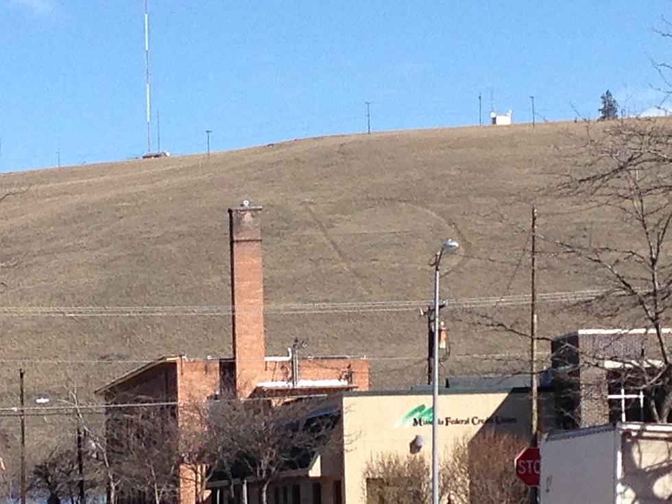
Hydrologist Ray Nickless with the Missoula office said the winter of 2014 was unusual because most of the moisture in western Montana came in the form of rain and not snow.
"We've sort of turned into a bit of a Seattle or Portland style area this winter here in western Montana," Nickless said. "Our precipitation in the mountains has been somewhat average to above average. but, if we look at the snow pack up in the Libby area and the basins and streams that feed the Kootenai River system, the snow pack is not there."
Nickless said the intensity of the upcoming fire season will have to depend on spring rains.
"Our fire season is really driven more by precipitation we see in the late spring and summer months," he said. "We could have an abundant snow pack across our entire area, but if we go dry in June, July and August, we're going to have a bad fire season. And, even if we're low on snow pack right now, if we get abundant rain, or even average rain, that could limit our fire season."
Nickless said it is difficult for weather forecasters to look that far ahead to determine the amount of rainfall western Montana might receive in the summer months, but traditionally, June can be one of the wettest months of the year.
More From KMMS-KPRK 1450 AM


![Missoula is Title Town – State Headlines [YouTube]](http://townsquare.media/site/119/files/2015/03/basketball1-Ronald-Martinez-Getty-Images.jpg?w=980&q=75)


