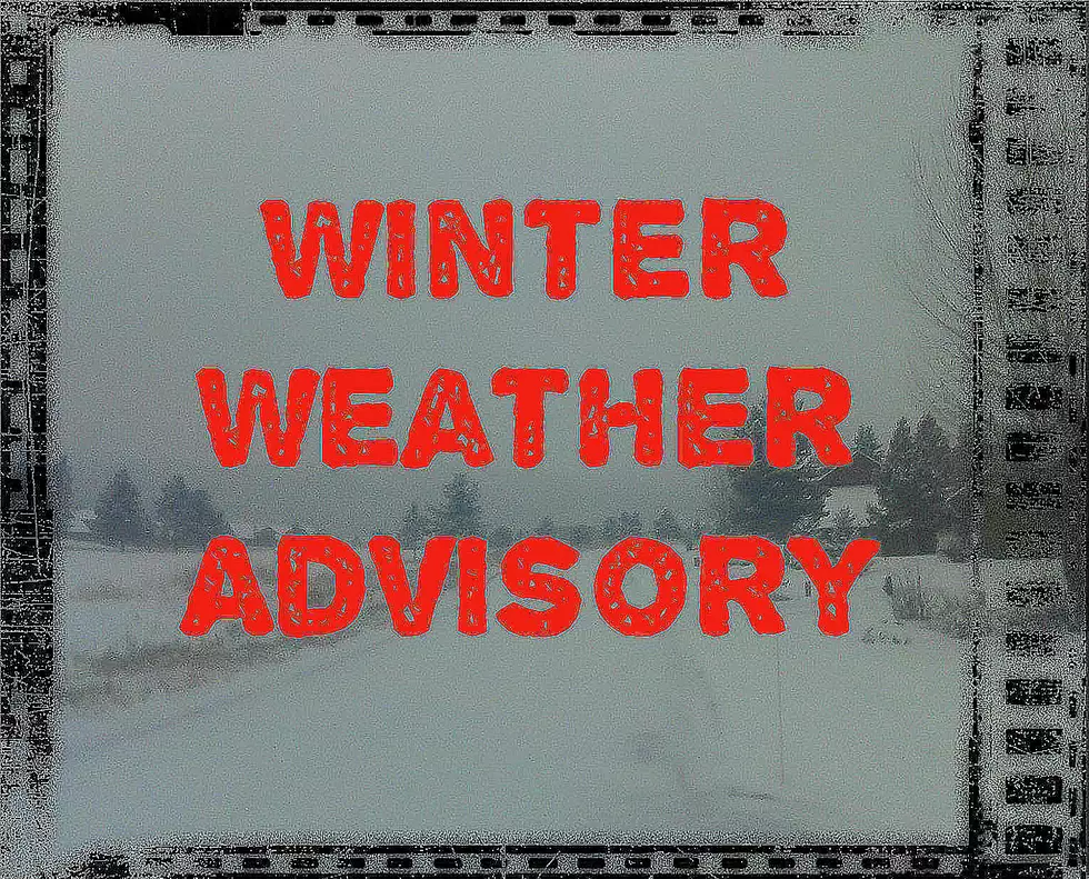
Winter Weather Advisory/High Wind Advisory For Snow At Higher Elevations
Snow AND 60 MPH wind gusts may be dangerous for travelers through Sunday morning in Montana's mountain passes.Be careful coming back from Cat/Griz!
According to the National Weather Service:
A Winter Weather Advisory for snow and blowing snow remains in effect until 5 am MST Sunday.
Snow accumulations: total snow accumulations of 5 to 9 inches are expected...with isolated higher amounts near ridge tops.
Winds and visibility: the combination of falling snow and gusty winds will create widespread blowing snow...with visibilities less than one half mile at times.
Locations affected include: Targhee Pass...West Yellowstone... Big Hole Pass...Chief Joseph Pass...Monida Pass and Raynolds Pass.
A Winter Weather Advisory for snow and blowing snow means that visibilities will be limited due to a combination of falling and blowing snow. Use caution when traveling...especially in open areas.
The National Weather Service in Great Falls has issued a High Wind Warning...which is in effect until 2 PM MST this afternoon.
Timing: periods of strong and gusty winds will impact favored locations across Gallatin and Broadwater counties through Saturday afternoon.
Winds: southwest winds 35 to 45 mph...with gusts up to 65 mph at times.
Locations affected include: Battle Ridge Pass...Bozeman Pass... Targhee Pass...Townsend...Three Forks and the silos.
Precautionary/preparedness actions...
A High Wind Warning means a hazardous high wind event is expected or occurring. Sustained wind speeds of at least 40 mph or gusts of 58 mph or more can lead to property damage.
More From KMMS-KPRK 1450 AM