In the next few days, the National Weather Service is calling for temperatures to top 100 degrees in western Montana, bringing with them high fire danger.
The National Weather Service Office in Missoula has declared a flood watch for western Montana starting at 3:00 p.m. on Monday and continuing through late Tuesday night.
The unrelenting rain that has been visiting Missoula over the past few weeks has vastly increased the overall totals to the point that the region has reached near the top in moisture levels.
When the snow falls in terms of feet rather than inches in the mountains, the assumption would be that snow pack would be above normal for the upcoming spring and summer.
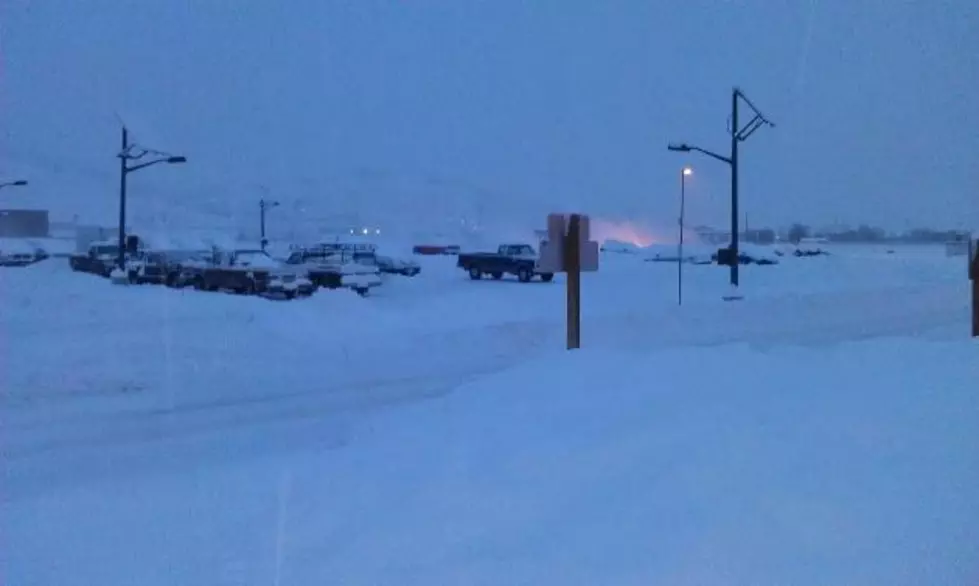
Our news partners at NBC Montana are reporting school closures and delays in northwest Montana, due to the extreme snow event that is expected to last through Tuesday morning.
From Kalispell north to Glacier Park and throughout northwest Montana, the National Weather Service is predicting a monster snowfall event that could bring an extra two to three feet to the area.
So far, the Missoula area has experienced a dry fall, lots of snow over Christmas and into January, and with the advent of February, freezing valley rain and heavy mountain snow.