Winter Storm With ‘Copious Precipitation’ Expected By Late Sunday Into Monday
The National Weather Service is predicting a series of winter weather systems that are headed toward western Montana through the first part of next week.
Meteorologist Trent Smith said several small systems will make their way through the area this week, but a much larger system is predicted by the end of the coming weekend.
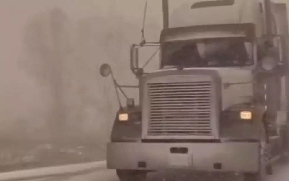
"We've got a pretty big system that we're looking at for the end of the weekend into next week," Smith said. "There's a small system that will impact the area by Thursday with snow mostly in central Idaho, and Missoula could get an inch or maybe two inches, and that could fall during Thursday's morning commute, so drivers should be prepared."
Smith said computer models are predicting a cold front with snow and frigid temperatures by early next week.
"Our models are telling us that a really strong cold front is going to be swinging through the area on Sunday," he said. "That's going to bring a copious amount of precipitation, with the mountains getting over a foot of new snow. For the valleys, there could be a rain/snow mix but if it does change over to snow it will be from Sunday night into Monday morning, so the morning commute could be dicey."
Smith said an arctic front is predicted to arrive later Monday, bringing with it much colder temperatures.
"Come Tuesday, we might struggle to even get out of the teens for our highs, so it's really going to be a double whammy from Sunday night into Monday," he said. "There's a big question as to how much snow could fall in the Missoula valley. Right now, I'm predicting a three to six inch snowfall for the valley."
More From KMMS-KPRK 1450 AM