Winter isn't done with us yet. A Winter Storm Watch has been issued from Wednesday night through Friday morning with up to a foot of snow possible in the highest elevations.
Another round of snow is on the way for Gallatin County. Both the valleys and mountains (in the the north AND the south) should get at least a few inches of snow by Monday afternoon. More gusty winds will accompany this next front.
This week is turning out to be the epitome of winter in Montana with lots of snow, wind and advisories galore. DANGEROUS winds are possible through Thursday especially in the higher elevations.
All of Southwest Montana is facing a Winter Storm Watch until 5pm on Wednesday with the the valleys facing up to 10 inches of snow and the mountains facing 20 inches possible!
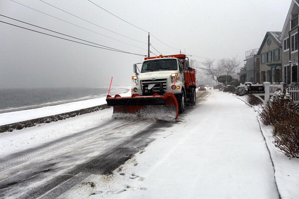
Monday morning's commute had a little bit of everything, snow, freezing rain and several slide-offs and crashes, even a snow slide on I-90, according to the Montana Highway Patrol.