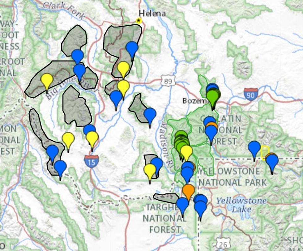
Many counties in southwest Montana are expecting a decent blanket of mountain snow by Tuesday afternoon. Winter Weather Advisories are in effect for nearly a dozen counties.
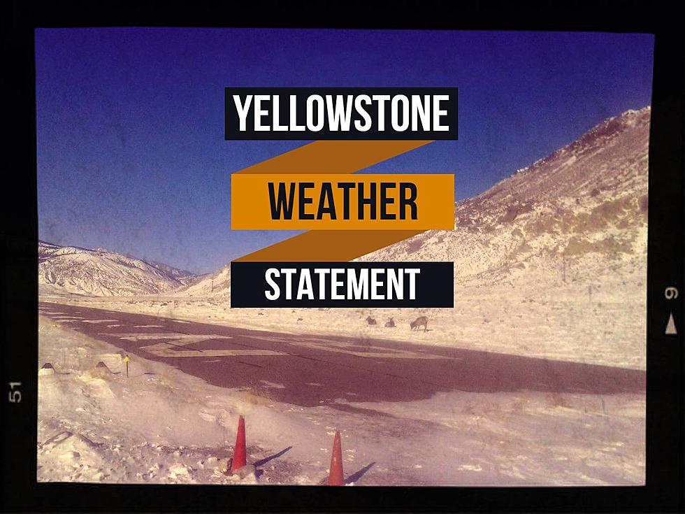
Yellowstone National Park will continue to get hammered with snow and gusty winds until Saturday morning with a Winter Weather Advisory. Up to 12" of fresh snow could fall and visibility may be near zero during this time.
Very gusty winds up to 40 MPH may accompany heavy snow in the higher elevations of SW Montana. Most valley areas under the Storm Warning may see 3 - 5 inches of snow, all by Wednesday morning.
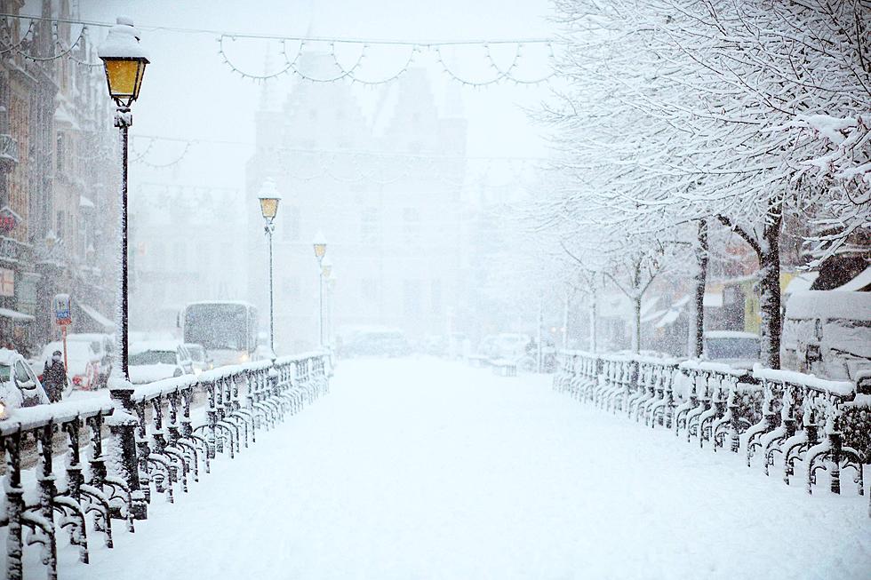
Fall. Winter. Fall. Winter. 'Tis the dance Montana generally does through the month of October. High elevations in southwest Montana could see up to 10 inches of fresh snow by Tuesday morning...so I guess that means we're back to winter!
The weather is going to be pretty messy in and around Yellowstone National Park on Monday. Several inches of snow is expected to fall, with up to 6" in the highest elevations surrounding the Park. Driving conditions could deteriorate quickly if you're in the area.
We might have quite a mess on our hands...a Winter Storm Warning (that's the big deal one), is in effect for Gallatin and Madison Counties until Noon on Tuesday. Several inches of snow is expected in the valleys with up to 18" of snow to accumulate in the mountains.
On one hand, I can't think of much that is prettier than snow capped mountain tops. On the other, while I'm over the heat and smoke, I'm not sure I'm ready for winter and everything that comes with that.
The National Weather Service has issued a Winter Weather Advisory until Friday at 9 p.m. for this storm. Strong gusty winds as high as 35 mph are expected in the Bozeman.