We all knew the arctic blast was coming, with wind chill factors of -35 possible. And reality they became. Early Monday morning, Montana was packed full of wickedly cold air temps with significant wind gusts in several locations.
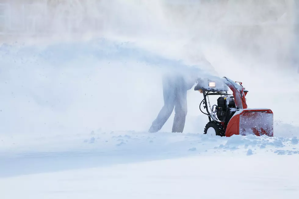
Get ready for a round of significant snowfall followed by sub zero temperatures across dozens of Montana counties. Snow in the valleys could make driving conditions difficult, but the mountain passes could get well over a foot of fresh snow.
When it hasn't been snowing, it's been very foggy in the valleys of southwest Montana so far this week. Dense fog has created dangerous driving conditions at times.
Southwest Montana counties are in for another round of snow, with 4" to 6" falling in the higher elevations and 1" to 3" inches slated for the valleys by Monday afternoon.
Get ready for a slow commute and fresh round of shoveling, especially in southern Gallatin and Madison Counties. Lots of mountain snow and very gusty winds are possible in the higher elevations with this storm.